Headland has its own in-house team of archaeological geophysicists who have a combined experience of more than 30 years carrying out and interpreting geophysical surveys in the United Kingdom and Ireland. We understand that each site is unique and that soils, geology, topography and recent land-use all impact on the quality and interpretability of the data. Our staff can advise on the most effective remote-sensing techniques and methodologies to evaluate a site; in many cases it is possible to predict if a particular method will detect a particular type of archaeology. Headland does not adopt a one-size-fits-all approach, will not undertake work where we believe a more effective alternative approach is available and will always negotiate on our clients’ behalf to achieve the most cost-effective and robust strategy.
The data from all our surveys are reviewed by one of our three senior geophysics specialists to ensure the interpretations of anomalies are robust and soundly argued and the results presented in a clear, concise way. Where there is doubt over an interpretation, all alternatives causes will be outlined and, if possible, the most likely interpretation identified.
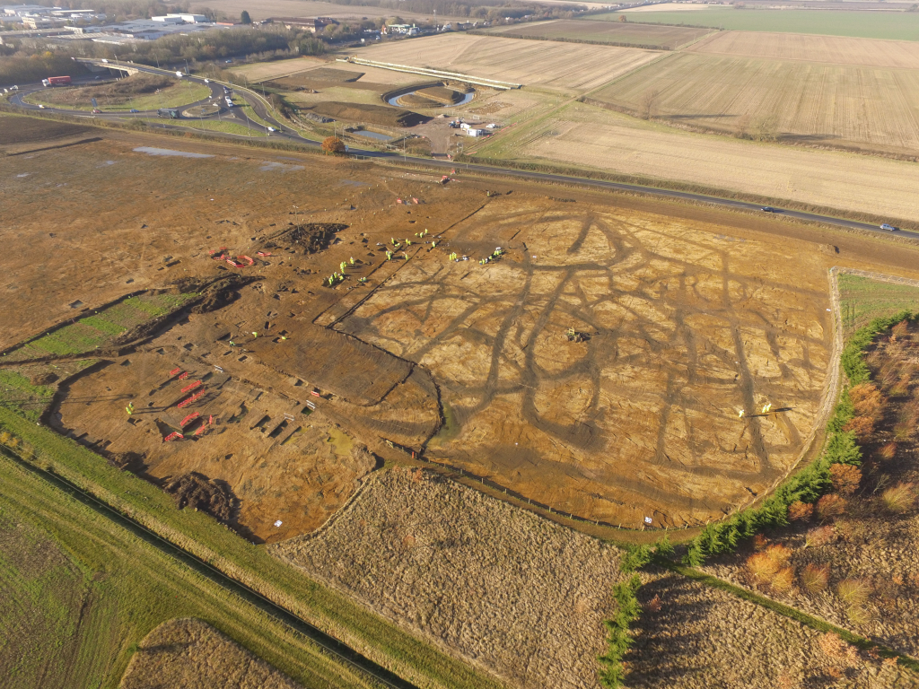
Our experience is founded on comparing excavation results with survey data, something many survey companies fail to achieve, and we insist that all excavation reports include a paragraph assessing the geophysical survey interpretations against the physical evidence. We believe this approach is more likely to reduce the scale of further work.
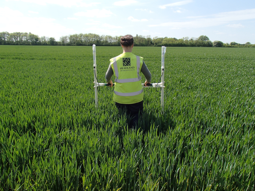
Headland offers a range of remote-survey services equipment and has experience of operating less frequently used equipment such as electro-magnetic conductivity meters, as well as more conventional equipment such as fluxgate magnetometers, earth resistance meters and ground penetrating radar. If we cannot offer a service in-house we will seek out external specialists, and we know when to do so and how to manage the project. We have experience of working on sites throughout the country from small (less than 2 hectares) to in excess of 100 hectares for projects including solar and wind farms, road and pipe-line corridors and housing developments.
We believe the key to a successful project outcome for the client is the speed at which the survey data is processed and interpreted, and the need for any further archaeological work established. To ensure this speed is maximised, we process the data on a daily basis, we provide advice during the works on any significant archaeology as it emerges and we produce interim interpretation plots promptly. We believe that this ongoing feedback and speed of delivery is essential to providing the client with an early assessment of the likely scope of any further archaeological works.


