The geophysical survey team successfully completed a large linear scheme with non-consecutive access to proximal sites. Headland was able to utilise multiple teams to ensure the survey was completed within timetable. This project demonstrated our ability to deliver complex linear surveys.

Norfolk Vanguard Offshore Wind Farm
About This Project
Project Summary
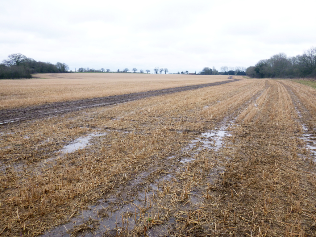
From October 2017 to March 2018 Headland undertook a magnetometer survey, covering approximately 600 hectares, along the proposed onshore cable corridor and associated onshore project area for the Norfolk Vanguard Offshore Wind Farm, to provide further information about the archaeological potential of the cable route. This work was focused on areas identified in the Archaeological Desk-Based Assessment (ADBA) as potentially containing buried archaeological remains, following preliminary analysis of aerial photographs, LiDAR, and Historic Environment Record (HER) data.
Project Details
The survey successfully evaluated 127 Priority Archaeological Geophysical Survey Areas, identifying twenty distinct areas of archaeological activity, ranging from isolated ring-ditches to extensive areas of settlement and enclosure.
Most of these areas were previously known, although some were less extensive than had been identified by the geophysical survey, whilst several others were not known at all. These areas have been assessed as being of high archaeological potential. Anomalies at numerous other locations have been interpreted as being of possible archaeological potential, including possible field systems, trackways, isolated ditches and pits.
The report has been included in the client’s Environmental Statement (ES), as part of a Development Consent Order (DCO) application.
Client
Norfolk Vanguard Ltd.
Consultant
Royal HaskoningDHV UK
Sector
Renewables
Services
Geophysics