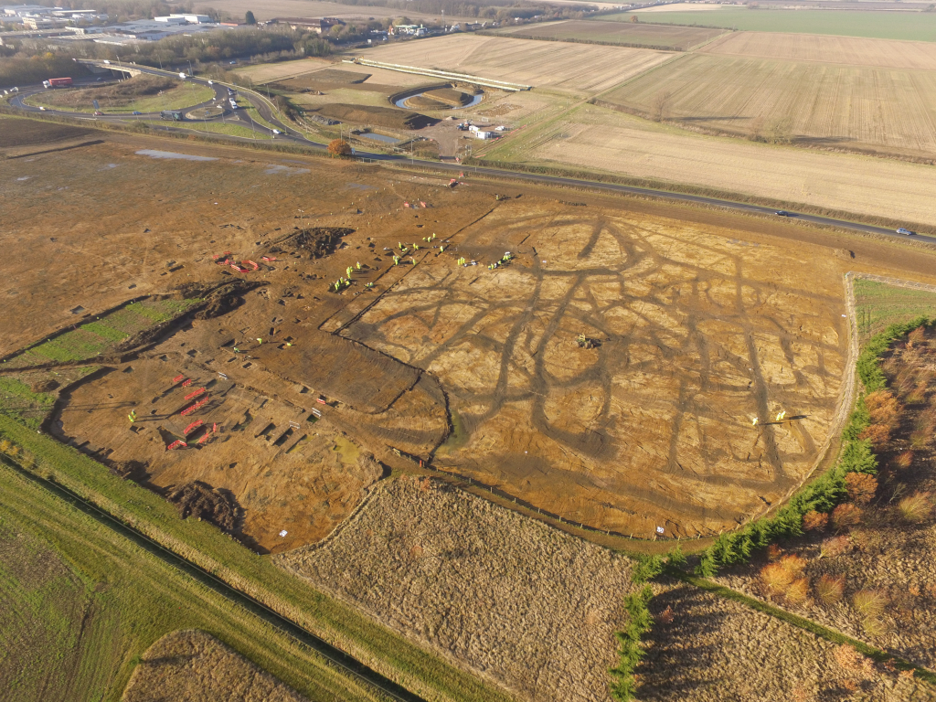
Our highly trained and experienced geomatics team places a premium on the importance of accurate, reliable and efficient data capture, intelligent and specialist analysis and responsible management and storage of all types of survey data.

Our highly trained and experienced geomatics team places a premium on the importance of accurate, reliable and efficient data capture, intelligent and specialist analysis and responsible management and storage of all types of survey data.

Our team is proficient in all types of survey required in the heritage sector. We can provide topographical and landscape survey, building elevations, accurate floor plans, site survey, GPS survey, Geographical Information Systems data collection and analysis and digital terrain models. We stay at the forefront of technology and use the latest surveying techniques and data manipulation methods to give the fastest and best quality results to our clients. All our products are BIM-ready. We can use 3D laser-scanning and photogrammetry to deliver highly accurate and rapidly acquired 3D models of sites. We are also able to analyse the 3D data, and manipulate it with our software. This means we can offer interactive models to our clients which can help in capturing, interpreting and communicating heritage data.