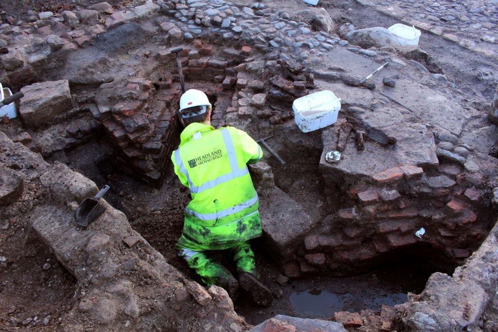
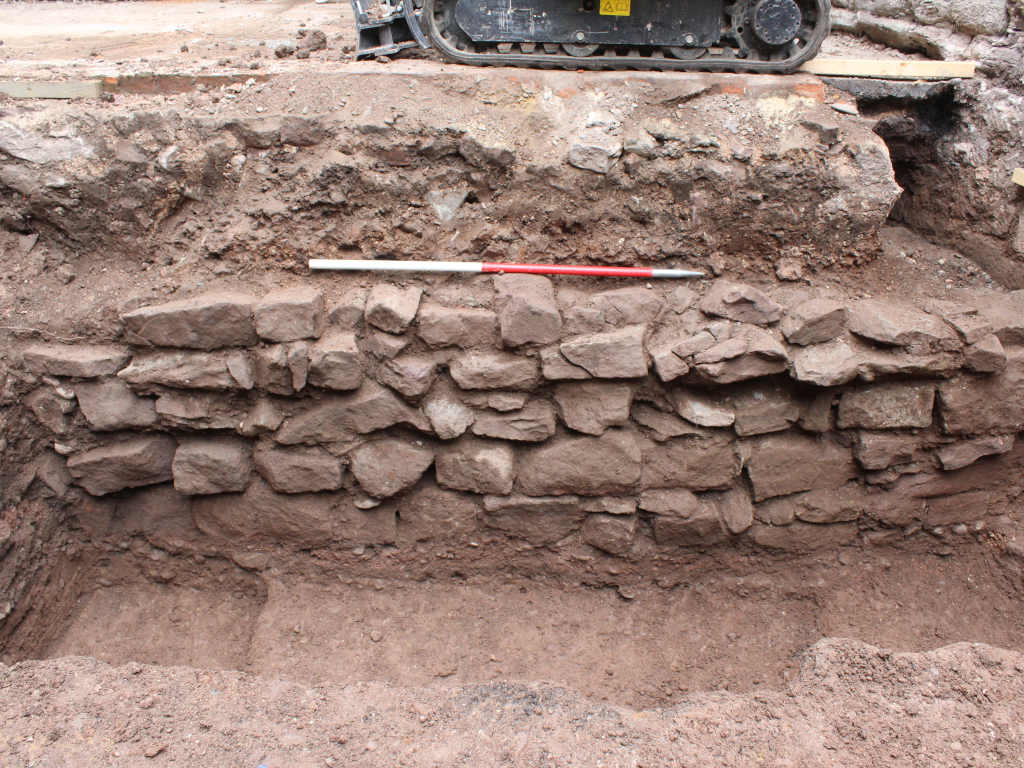
Many historic buildings are protected through planning and so any demolition, alteration or refurbishment will need a programme of archaeological recording. Our specialist team of surveyors can quickly assess the level of work required, and likely costs, through a site visit and archival research, giving our clients the information they need to plan ahead.

Historic Building Recording
Featured Projects

Gorgie Road
Location: Scotland, Sector: Property, Service: Desk-based Assessment, Service: Evaluation, Service: Excavation, Service: Finds, Service: Historic Building Recording
Custos Lodge, Hereford
Location: Midlands & West, Sector: Conservation, Service: Evaluation, Service: Excavation, Service: Historic Building Recording, Service: OsteoarchaeologyOver the last 15 years Headland has built up a reputation for working with historic buildings in the heritage sector and as part of the planning process. Our involvement in thousands of developments across the UK, ranging from road and rail to wind farms and commercial property, has developed our experience in everything from medieval castles and mills to canals and bridges.
As a result of new planning guidance, historic building assessments are more regularly required to support planning or listed building consent applications. In our experience a thorough assessment can save time and money at later stages of a project. We work closely with our clients and their teams and negotiate on their behalf with local authorities and national bodies such as Historic England, Historic Scotland and Cadw.
Most developments require low level survey. However, for the most important, rare or best-preserved buildings and structures and where there are more significant impacts involved, there are various levels of recording the Local Planning Authorities might ask for. These can range from a rapid photographic survey (Level I) to a full drawn record of the structure, its fixtures and fittings (Level IV).
Our team has a range of expertise essential to understanding historic buildings, and can select the most cost-effective approaches to recording them. Techniques can include photogrammetry, precision survey with reflectorless Total Stations, hand-measured survey and laser-scanning. Several of these allow us to create total 3-dimensional virtual reconstructions. This means we can tailor our solution to meet the needs of the impact assessment and the commercial considerations of the client.


